Monitoring Climate Change
Transformative solutions to conserve and protect our resources
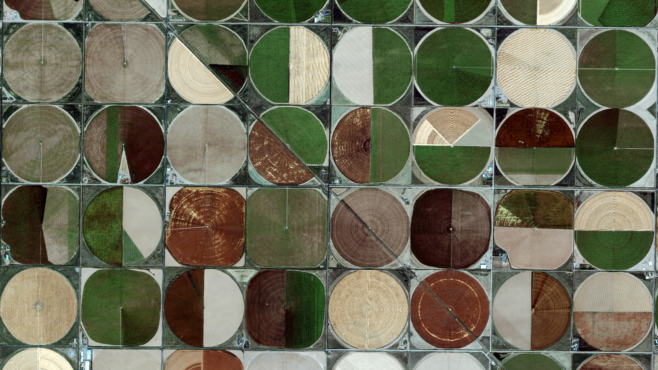
Fighting climate change
Increasing green space helps bring down temperatures. Maxar tracks the quantity and quality of green space using satellite imagery and machine learning.

Utilizing geospatial AI to improve Indonesia’s urban green spaces
Green City Watch

Maxar imagery central to Madrid’s green space planning
Maxar

Counting animals from space for conservation efforts
Maxar and BBC
Using Geospatial Data for Climate Efforts
Maxar
Water surveillance
Better water management practices are developed by following the movement of water around the globe with satellite imagery and machine learning.

Maxar provided subsystems essential to GRACE Follow-on Mission
Maxar

Earth Observation Challenge: The Three Winners
Maxar

WorldView-2 monitors Wadden Sea coastal change
Maxar
Temperature effects around the world
In Maxar’s new Voyager Story in Google Earth, explore climate change globally.
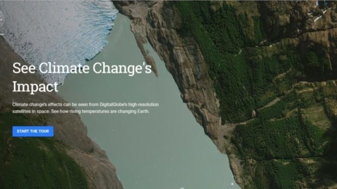
Explore how rising temperatures affect Earth
Maxar

7 ways rising temperature affects the Earth
Voyager Story in Google Earth

Building the most accurate, most comprehensive coral reef maps
Maxar
Tracking the Amazon
Satellite from Maxar and MDA detect deforestation and locate isolated indigenous communities in the Amazon.

Amazon Conservation Team Assists Census of Indigenous Peoples with Maxar Capabilities
Amazon Conservation Team

How Maxar Technology Helps Protect Isolated Tribes Deep in the Amazon Rainforest
Amazon Conservation Team
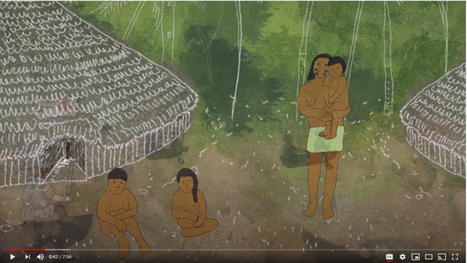
Protecting the Isolated Tribes of the Amazon
Narrated by: Jeff Bridges
Produced for Amazon Conservation Team
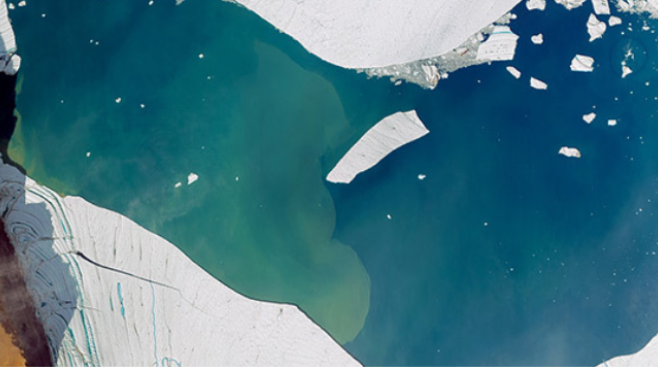
Glacial melt
Rising temperatures are melting glaciers and raising ocean levels around the world. Maxar satellites track the change in glaciers.
Maxar and Extreme Ice Survey Partner to Monitor World’s Glaciers
Maxar

Glaciers in East Antarctica also ‘imperiled’ by climate change, UCI researchers find
University of California-Irvine News

Losing Earth: The Decade We Almost Stopped Climate Change
New York Times Magazine